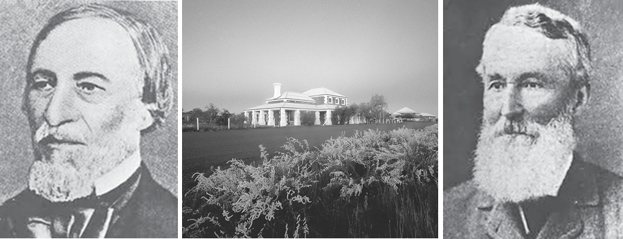
Europeans first encountered the Pilbara area in 1628, when a vessel in the command of Captain De Witt ran aground near Cape Thouin on route to the Dutch East Indies. After a cursory inspection of the coast he gave it a name of De Witt Land. In 1699, William Dampier sailed into the Dampier Archipelago aboard his ship ‘The Roebuck’, landing on Enderby Island. From this first landing, the islands have had a very interesting past, including the establishment of a sheep farm on West Lewis Island to supply fresh meat, to a whaling station on Malus Island – both ventures now abandoned and in ruins.
Other European explorers passed by the Pilbara, including ‘The Mermaid’ with Captain King in 1818 and the ‘HMS Beagle’ with Captains Wickham and Stokes between 1838 and 1941. Their role was to carry out a series of surveys of the area, identifying shipping harbours and reporting on coastal lands.
In 1861, Francis T. Gregory was sent to report on country inland of the North West Coast which was previously reported by King and Stokes as unfavourable. Gregory’s party used Nickol Bay as a base and observed several large areas of land suitable for pastoral purposes. The party also discovered and named the Ashburton, Fortescue, Sherlock, Yule, Harding, George, Strelley, De Grey and Oakover Rivers.
The township of Roebourne also has an amazing pioneering history. Being established in 1866 and named after John Septimus Roe (pictured above left), WA’s First Surveyor General, the town grey to be the administrative capital of the North West, with Cossack as the port that serviced this then very large town. The early years of settlement were difficult. Cyclones ravaged the area, resulting in the loss of both lives and supplies aboard sunk ships. In 1865, a smallpox virus reached the area, killing Aboriginals and Settlers in epidemic proportions. The early settlers were forced to face the problems of bad health without the aid of hospitals or qualified doctors, and were also plagued by stock losses and the erratic fluctuations of the London wool market.
The 1880’s saw the construction of many fine stone buildings which were used primarily for government purposes. Today in Roebourne there are a number of historic buildings that still remain, each with its own piece of history.
Cossack, originally known as Tien Tsin is named after the ship captained by JT Jarman, which landed there in 1863. Cossack was officially declared a town in 1872. It was the first port in the North West and played host to thousands of people seeking their fortunes in the Pilbara gold rush. Cossack was also the home of the fast growing pearling industry. However once the local pearling grounds were fished out, the pearlers moved further North to Broome. The town began as nothing more than a collection of shacks at the edge of the harbour. Concerned by the sprawlings and disorganised development, the town of Cossack was gazetted in 1872. Although Cossack’s growth was spread over forty years, its decline was more rapid. The Cossack port was no longer suitable as a harbour and in 1904 a jetty was established at Point Samson and all shipping movements were relocated there.
Jarman Island is named after Captain Jarman of the ‘Tien Tsin’. In 1866 a lighthouse was ordered as a kit from England, arriving some time later by ship. After being assembled using a labour force from the Roebourne Gaol, the lighthouse was fully operational with a lighthouse keeper to ensure that the four wick kerosene lamp was lit every night. The lighthouse was built to guard the entrance to Butcher Inlet and provide greater safety to ships using the port of Cossack. The lighthouse lamp was 96 feet above sea level and required winding every two hours so two lighthouse keepers were employed. In 1917 it was automated and decommissioned in 1985.


